
Ireland 100-Mile Hike Guide
Ireland 100-Mile Hike Guide
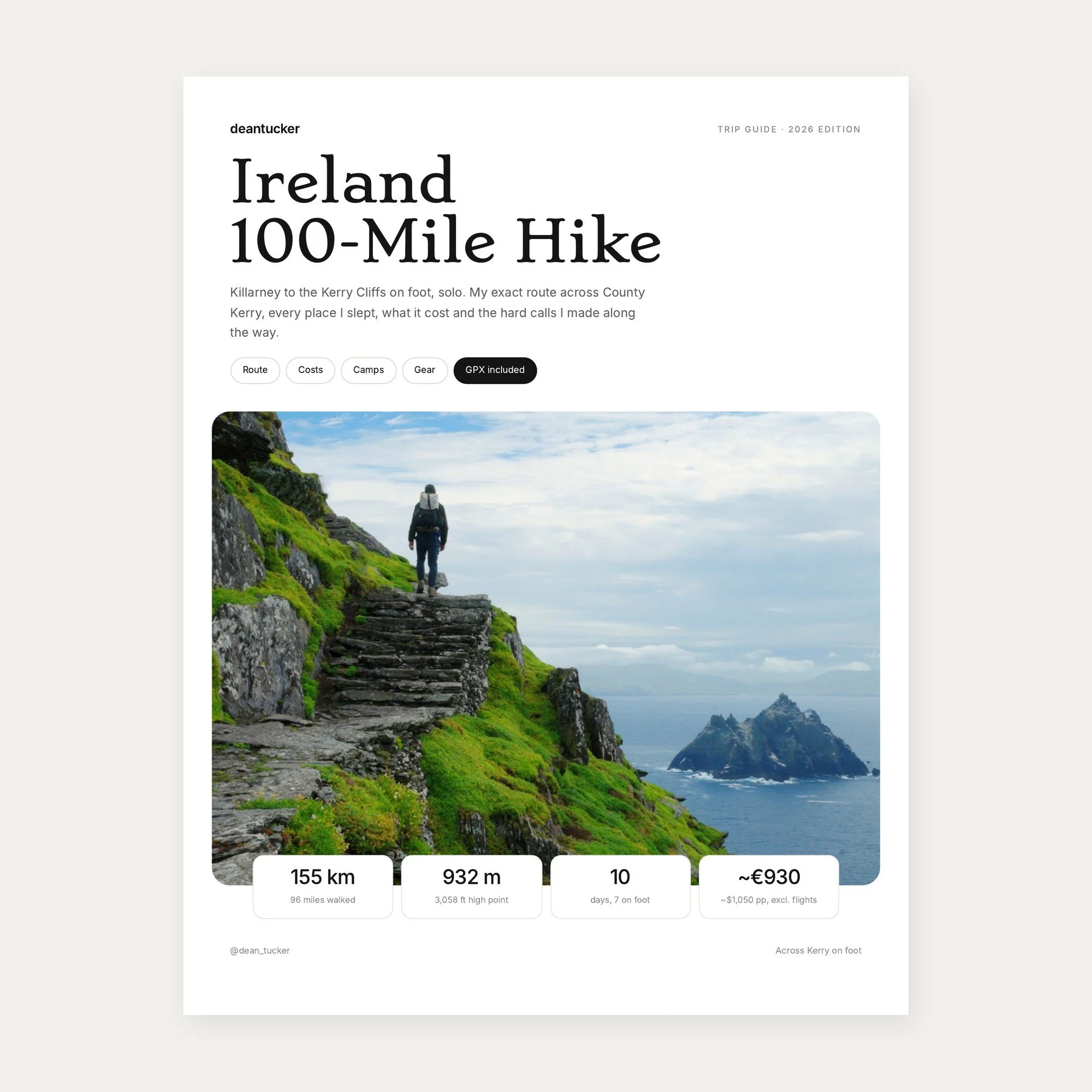
My solo 100 mile walk across County Kerry, from Killarney to Skellig Michael and the Kerry Cliffs, with GPX for every day, where I camped and slept, what I paid and the hard calls I made.
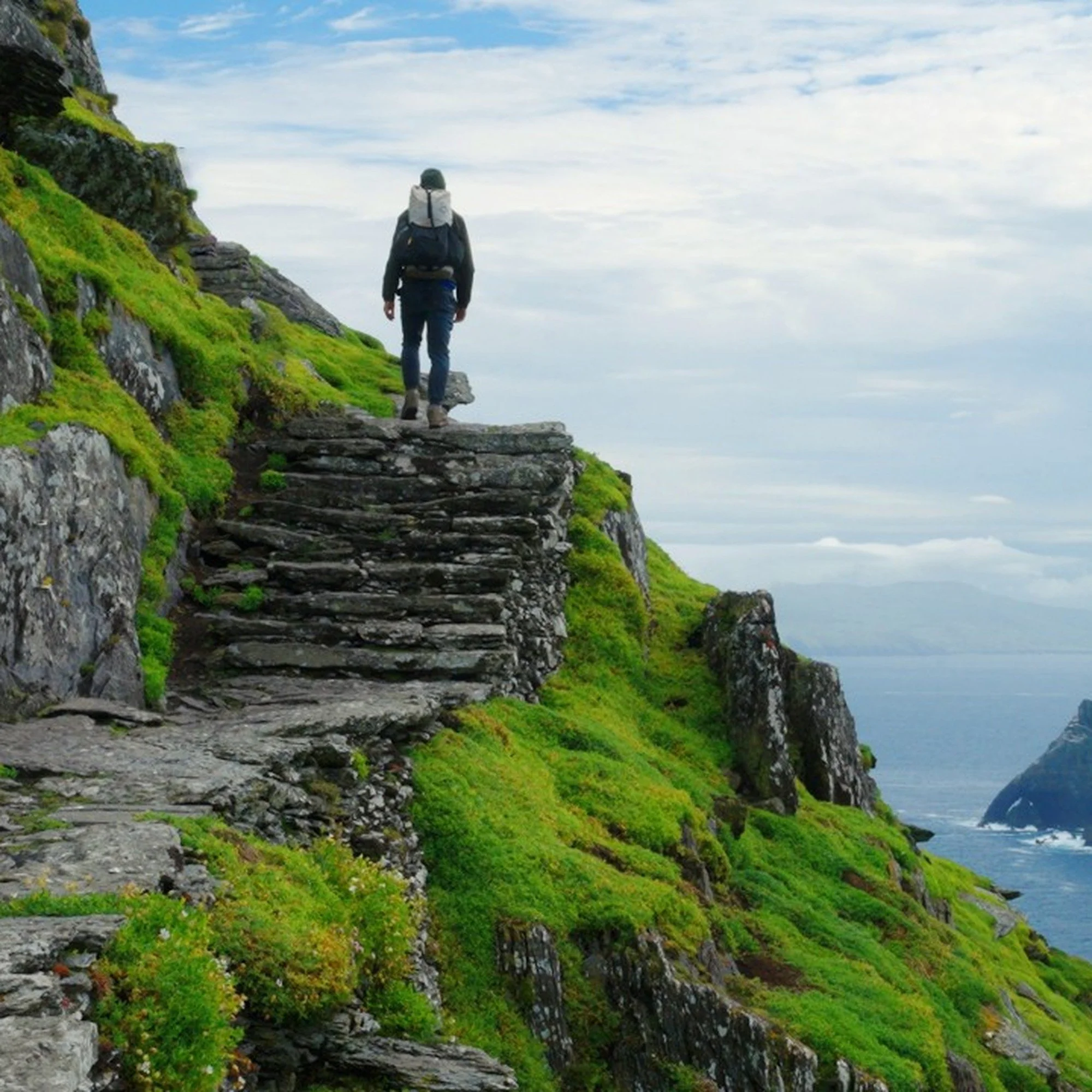
In June 2026 I walked about 100 miles across County Kerry on my own, on a route I built from the Kerry Way, mountain ridges and farm tracks. I walked through bog for hours, ran out of water, ended up on private farmland and turned around on a ridge in a gale with Ireland's highest mountain in front of me. I also climbed Skellig Michael past the puffins and camped on a cliff edge above a mirror lake. This guide is the real version.
What's inside
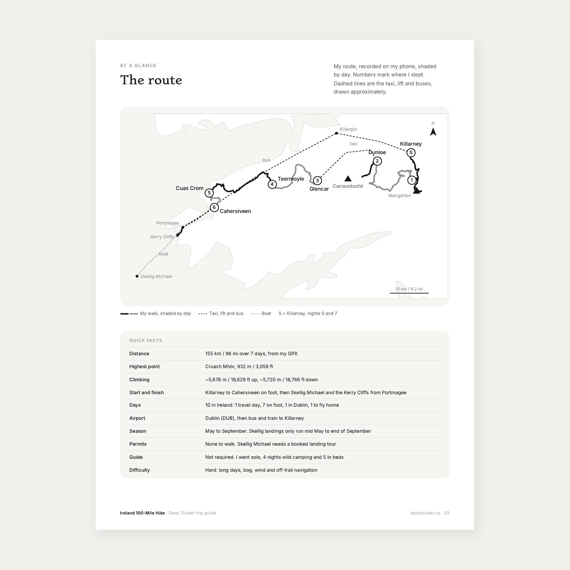
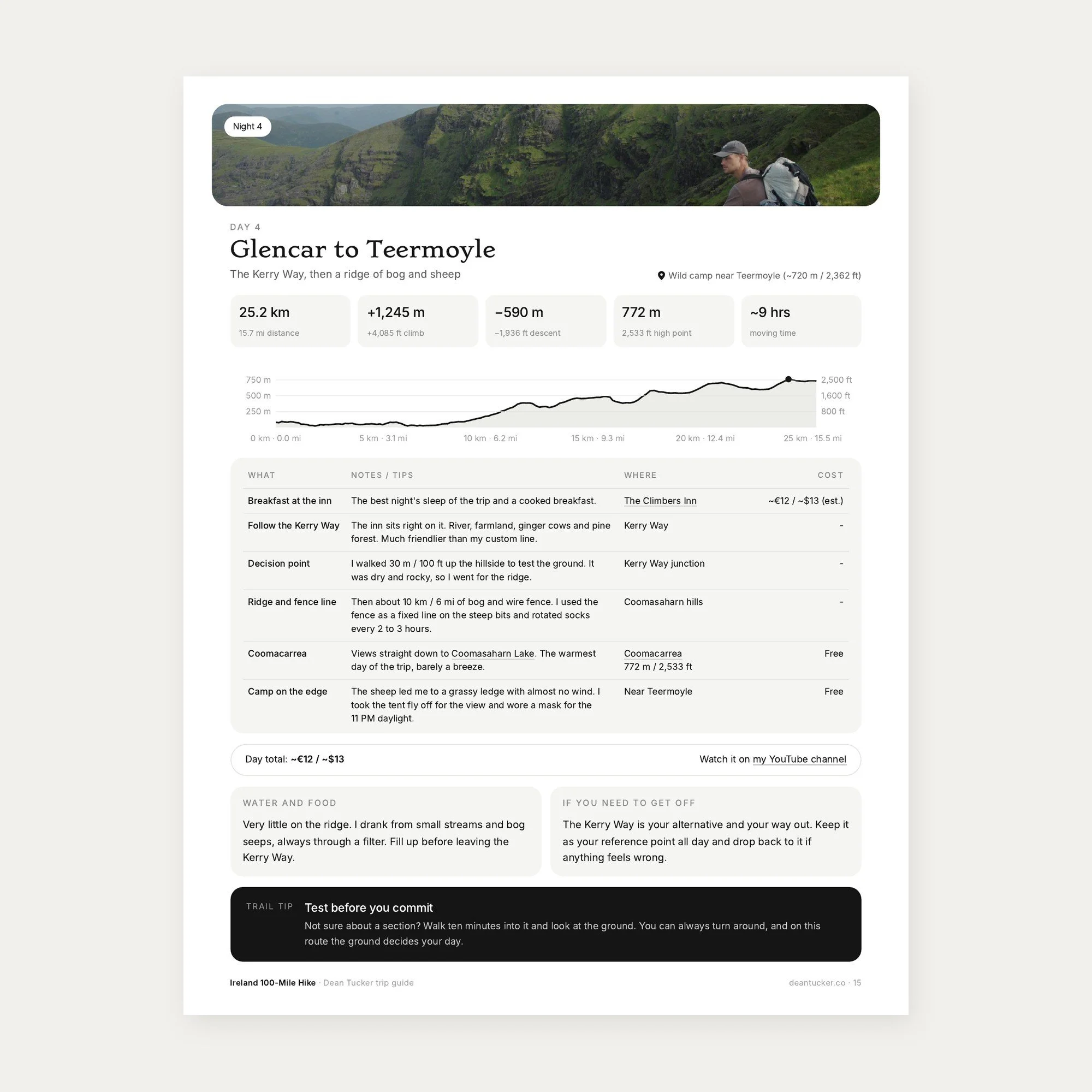
10 day itinerary, day by day, with elevation profiles for all 7 walking days
Route map and GPX files of my exact route (155 km / 96 mi)
What I actually spent, per day and per category
Every place I slept and camped, with exact Google Maps links
How to book Skellig Michael, trains and buses, and in what order
Wild camping and land access in Ireland, explained honestly
Safety, bail-out points and a full packing list
A slower 9 night version of the route
12 lessons learned and a one page trip sheet
Bonus
GPX files for every day, one combined file and my original planned route, and a read me on loading them into AllTrails, Gaia GPS, Komoot or your watch.
Who it's for
Experienced, self sufficient hikers who want a wild, mostly off-trail route across Kerry, and anyone planning the Kerry Way or Skellig Michael who wants real costs and logistics.
Good to know
Instant download, PDF plus GPX
Prices from my June 2026 trip, with estimates marked
Download to your phone before you fly
Watch the full Ireland hiking film on my channel, @dean_tucker.